Rain and flood alert could mean a very damp Halloween
By Neil Speight 29th Oct 2021


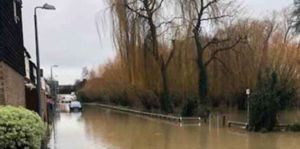
THE region may be in line for another drenching with heavy rainfall that might lead to flooding due across the region over the weekend and particularly late on Saturday evening and through Sunday morning.
The Met Office has issued a yellow weather warning which says: "A band of rainfall will arrive across southwest England and Wales shortly after midnight and then push quickly northeastwards (lasting only 2 to 3 hours in any location) before finally clearing from Essex and Kent into the North Sea.
"Within these 2-3 hours it is thought likely that some locations will see 20-30mm of rainfall. Recent heavy rainfall has left this region sensitive, and these additional (rainfall) totals are thought likely to cause some additional surface water flooding.
"The wind will also strengthen in association with this band of rain, and although impacts from wind alone are expected to be very low, the wind will likely increase leaf fall from trees, which coupled with the rainfall will increase the risk of localised flooding and make travelling conditions even more tricky."
It is just a few days since the passing of the remnants of Storm Aurora [L]https://thurrock.nub.news/n/waters-recede-but-questions-remain-after-night-of-flooding-following-rainstorm [L+]brought flooding to the area.
CHECK OUT OUR Jobs Section HERE!
basildon vacancies updated hourly!
Click here to see more: basildon jobs
Share:


